
ESTUDIOS TOPOGRÁFICOS, GEOTÉCNICOS Y RESISTIVIDAD DE TERRENOS PARA CONSTRUCCIÓN DE ESTACIONES SATELITALES DE REGASIFICACIÓN (ESR)
Descripción General
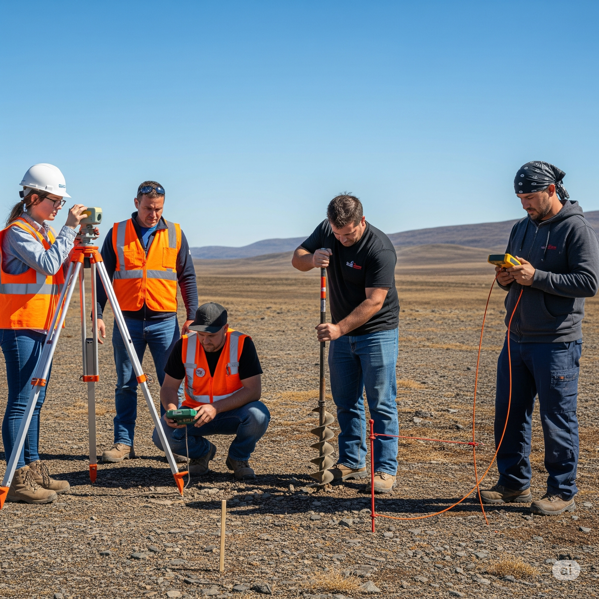
Este proyecto ejecutó la ingeniería básica y detallada mediante estudios técnicos cruciales para la planificación y diseño seguro de Estaciones Satelitales de Regasificación (ESR). Estos análisis garantizan la viabilidad técnica, constructiva y operativa, mitigando riesgos geológicos y asegurando la integridad de la infraestructura de GNL. Se realizaron los estudios para 14 nuevas Estaciones Satelitales de Regasificación en las poblaciones: Yucumo, Palos Blancos, Batallas, Quime, Colquiri, Poopó, Porco, Culpina, Pasorapa, Valle Grande, San Pedro, San Ramon, San Javier, Concepción. Áreas de Análisis Técnico Estudios Topográficos: Objetivo: Recopilar datos precisos del terreno para generar modelos digitales de elevación (MDE), curvas de nivel y planos topográficos detallados. Metodología: Uso de estaciones totales electrónicas (ETE), GPS diferencial (RTK/PPK), y ocasionalmente LiDAR. Análisis: Identificación de geomorfología, pendientes, cuerpos de agua y accesos, optimizando el diseño civil y volúmenes de movimiento de tierras. Estudios Geotécnicos: Objetivo: Determinar las propiedades físico-mecánicas del suelo y subsuelo para el diseño de cimentaciones. Metodología: Sondeos SPT, perforaciones y calicatas en campo; ensayos de laboratorio (límites de Atterberg, granulometría, resistencia al corte, consolidación) para caracterizar estratos. Análisis: Evaluación de capacidad de carga admisible, asentamientos, potencial de licuefacción y estabilidad de taludes. Recomendación de cimentaciones (superficiales o profundas) para tanques criogénicos y equipos. Estudios de Resistividad del Terreno: Objetivo: Medir la resistividad eléctrica aparente del subsuelo para diseñar sistemas de puesta a tierra (SPAT) y protección contra descargas atmosféricas. Metodología: Método Wenner con resistivímetros para determinar la resistividad por capas a diferentes profundidades. Análisis: Interpretación de datos para calcular la resistencia de la malla de tierra según normas (IEEE Std 80, NFPA 70/NEC), protegiendo equipos y personal. Estos estudios proporcionan la ingeniería de base indispensable para la construcción segura y eficiente de las ESR, fortaleciendo la infraestructura energética regional con criterios de seguridad, eficiencia y sostenibilidad.
Galería

Área Técnica
Hidrocarburos
Tipo de Servicio
CONSULTORÍA
Ubicación
La Paz, Bolivia
Período
2017
ESTUDIOS TOPOGRÁFICOS, GEOTÉCNICOS Y RESISTIVIDAD DE TERRENOS PARA CONSTRUCCIÓN DE ESTACIONES SATELITALES DE REGASIFICACIÓN (ESR)
KRETCO S.R.L.
La Paz – Bolivia
Este proyecto ejecutó la ingeniería básica y detallada mediante estudios técnicos cruciales para la planificación y diseño seguro de Estaciones Satelitales de Regasificación (ESR). Estos análisis garantizan la viabilidad técnica, constructiva y operativa, mitigando riesgos geológicos y asegurando la integridad de la infraestructura de GNL. Se realizaron los estudios para 14 nuevas Estaciones Satelitales de Regasificación en las poblaciones: Yucumo, Palos Blancos, Batallas, Quime, Colquiri, Poopó, Porco, Culpina, Pasorapa, Valle Grande, San Pedro, San Ramon, San Javier, Concepción. Áreas de Análisis Técnico Estudios Topográficos: Objetivo: Recopilar datos precisos del terreno para generar modelos digitales de elevación (MDE), curvas de nivel y planos topográficos detallados. Metodología: Uso de estaciones totales electrónicas (ETE), GPS diferencial (RTK/PPK), y ocasionalmente LiDAR. Análisis: Identificación de geomorfología, pendientes, cuerpos de agua y accesos, optimizando el diseño civil y volúmenes de movimiento de tierras. Estudios Geotécnicos: Objetivo: Determinar las propiedades físico-mecánicas del suelo y subsuelo para el diseño de cimentaciones. Metodología: Sondeos SPT, perforaciones y calicatas en campo; ensayos de laboratorio (límites de Atterberg, granulometría, resistencia al corte, consolidación) para caracterizar estratos. Análisis: Evaluación de capacidad de carga admisible, asentamientos, potencial de licuefacción y estabilidad de taludes. Recomendación de cimentaciones (superficiales o profundas) para tanques criogénicos y equipos. Estudios de Resistividad del Terreno: Objetivo: Medir la resistividad eléctrica aparente del subsuelo para diseñar sistemas de puesta a tierra (SPAT) y protección contra descargas atmosféricas. Metodología: Método Wenner con resistivímetros para determinar la resistividad por capas a diferentes profundidades. Análisis: Interpretación de datos para calcular la resistencia de la malla de tierra según normas (IEEE Std 80, NFPA 70/NEC), protegiendo equipos y personal. Estos estudios proporcionan la ingeniería de base indispensable para la construcción segura y eficiente de las ESR, fortaleciendo la infraestructura energética regional con criterios de seguridad, eficiencia y sostenibilidad.